Produce maps required for applications to the City Planning Commission for land use approvals
Most development in New York City is as-of-right, meaning that it complies with the Zoning Resolution and the developer may apply directly to the Department of Buildings for a building permit. However, property owners may seek special approvals to modify zoning requirements by applying to the City Planning Commission (CPC).
These applications consist of written and graphic materials—including maps—that propose land use approvals and development facilitated by those approvals. They are reviewed for completeness by the Department of City Planning before being presented to the CPC.
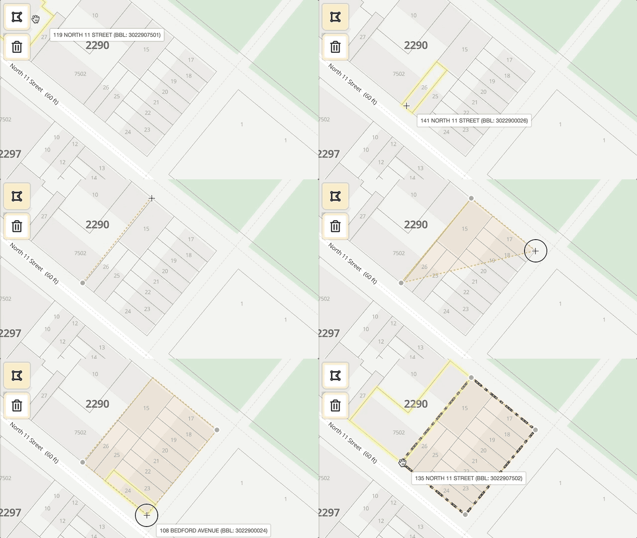
Applicant Maps makes the production of required maps less time consuming to prepare and eliminates the need for costly drafting or GIS software. Applicant Maps currently produces Area Maps, which are the most difficult map to make. Other maps are coming soon.
Visit the Applicant Portal to learn more about the application review processFor questions about your project, please coordinate with your assigned DCP staff members. To report technical problems with this website, please create GitHub issues, tweet @NYCPlanningTech, or email.
Create a project
Define your project geometries

